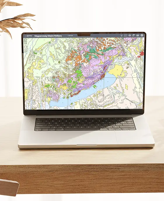
Providing Enterprise Level ArcGIS Support for a Government Agency
We support the Supervisory Authority for Regulatory Affairs of Hungary with GIS services on the web and in desktop environments.
Main challenges solved
- administration of complete GIS infrastructure
- custom app development for various goals
- integration of different GIS tools into the enterprise infrastructure
Key services and tools
Project Management
UX design
ArcGIS Server
Esri ArcGIS Desktop
Task Automatization
Consulting
Long-Term GIS Partnership
For SZTFH, we provide continuous GIS support ensuring a stable and future-proof infrastructure. Our role includes administering and fine-tuning an ESRI-based GIS environment, with regular upgrades and consultations on best practices for data storage and management.
Specialized Web Applications
We developed custom web mapping applications and widgets using the ArcGIS API for JavaScript, tailored to geological and geophysical data. These tools enable stakeholders to explore and analyze complex information with modern, interactive interfaces.
Data Management at Scale
A major focus is the nationwide borehole database, for which we designed a map-based UI that allows users to search, browse, and export data. Automated workflows harvest vector data directly from MS SQL RDBMS, improving efficiency and reliability.
Automation and Integration
Python and shell scripting were employed to automate repetitive tasks, while integration with enterprise services ensures interoperability across the agency's IT ecosystem. This holistic approach provides long-term sustainability and user value.