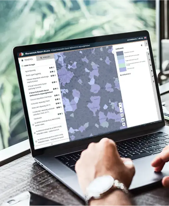
Showcase National Level Statistics in an Interactive Way
The National Atlas of Hungary presents diverse datasets. We made exploring this data seamless and intuitive.
Main challenges solved
- browsing easily 300+ layers
- custom cartographic designing capability in the browser
- advanced data analyzation tools
Key services and tools
Project Management
UX design
Esri ArcGIS Desktop
ArcGIS Server
React
NodeJS
Docker
OpenLayers
Empowering Data Exploration
eMNA makes 300+ statistical datasets accessible in a user-friendly, browser-based application. Users can visualize nationwide datasets at various levels of granularity (country, county, district, settlement), supported by interactive charts and on-demand statistics such as averages and standard deviations.
Advanced Thematic Mapping
The application provides flexible thematic mapping capabilities, enabling users to customize the look of the map by using various methods, categories, and color ramps. Administrative boundaries and purpose-specific base layers make it easy to compare and interpret complex statistical information.
User-Centric and Bilingual
Designed as a custom React SPA with OpenLayers and Material UI, the system offers a modern look and seamless usability. It is fully bilingual at both UI and data levels, making it equally accessible to all stakeholders.
Agile Development and Robust Backend
The system was developed using SCRUM agile methodology, closely aligned with the partner's requirements. On the backend, a robust ArcGIS infrastructure was designed, administered, and integrated with desktop GIS workflows, ensuring smooth preparation and data handling processes.